8 Highest Peak in Nepal Over 8,000 m
Nepal is recognized as the Himalayan Kingdom around the world. It is a small land-locked country situated between two giant countries: China and India. There are 1,310 peaks taller than 6000 meters, 238 of which are now climbable. Similarly, Nepal is home to eight of the fourteen 8000 meters above sea level summits, including Mount Everest, the world's tallest peak. Kanchenjunga, Makalu, Cho-Oyu, Lhotse, Dhaulagiri, Annapurna and Manaslu, are the other seven peaks.
Nepal boasts 8 peaks, out of a total of 14, that provide a fantastic mountaineering experience. Mount Everest, the world's tallest peak, is famed for its flawless mountaineering experience, whereas Mount Annapurna is known for its dangerous yet thrilling ascent.
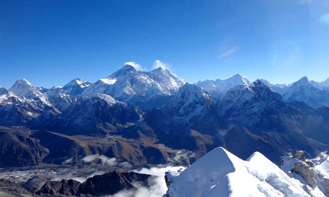
The 8,000 Thousanders has a story to tell, tragic and inspirational memoirs. Although there have been numerous fatalities and casualties while climbing, many individuals have survived the journey to the very top and braved the summit. Mountaineering attempts on Mt. Everest began in the 1920s, and the 1950s became regarded as the "golden era" of mountaineering since most of the eight-thousanders were conquered within 10 years. Among other mountains, Annapurna was the first to be climbed.
The Himalayas, which rise tall and majestic beneath a blue sky, greeting daring mountaineers, hikers, and trekkers, are associated with Nepal. Geographical and cultural diversity, unspoiled wildlife, uncharted territory, azure landscapes, and beautiful mountains are only some of the well-known attractions.
Mt. Everest (8,848.86m) The Highest Mountain Peak in the world
Mount Everest is the world's highest mountain. It stands at a height of 8,848.86 meters (29,031.7 feet). In Nepal, Mt. Everest is known as Sagarmatha, and in Tibet, Chomolungma. George Everest initially recognized the mountain in 1852 AD, and Tenzing Norgay and Edmund Hillary were the first to climb it in 1953 AD. John Hunt was in charge of this British expedition. Lt. Colonel Charles Howard-bury led the first expedition to Everest in 1921. Many climbers had already submitted the mountain by that time, and every year a huge number of climbers strive to reach the summit. Mount Everest is Nepal's most famous Himalayan peak. Mountain climbers believe that reaching the peak of Mount Everest and receiving a recognized certificate from the Nepal government is one of life's major goals.
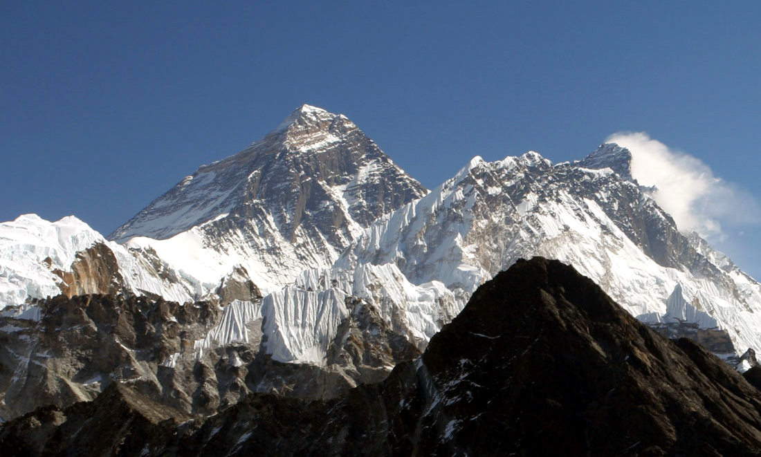
Because Nepal was restricted to foreigners until 1950, the first attempts were made from the Tibetan side. More than a thousand people have climbed Everest since 1953, including Apa Sherpa, who has summited the mountain twenty times. The southeast ridge is the most popular path up the mountain. Reinhold Messner and Peter Habeler were the first to reach the summit without the use of bottled oxygen, and Messner went on to complete the first solo ascent. He was also the first person to climb all fourteen eight-thousanders, a feat that many people today have attempted.
Before the significant expeditions in 1922, 1923, & 1924 Everest had been attempted numerous times. George H.L Mallory, who perished in a previous attempt (1924), was discovered not on the summit in 1999. Through several north and south routes, From 20 countries more than 600 climbers have reached the summit point from several north and south routes. Climbers were between twelve to sixty years old.
| Mountain | Mount Everest (Sagarmatha) |
| Meters | 8,848.86 |
| Feet | 29,031.7 |
| Range | Mahalangur Himal / Himalayas |
| District | Solukhumbu |
| Location | Nepal and China |
Kanchenjunga (8,586m) Third Highest Mountain Peak
Kanchenjunga is the world’s third-highest mountain, situated in Province No. 1’s Taplejung region. Many climbers and trekkers dream of conquering the Kanchenjunga massif. Many daring climbers dream of seeing the region's unique features, which include gorgeous valleys, coruscating peaks, an exquisite atmosphere, and a rich range of flora and wildlife. Trekking in the Kangchenjunga Region's uncharted wonderland on untrodden paths is the best way to observe the unexplored wonderland.
Kangchenjunga was billed as the world's tallest peak from 1838 to 1849. Despite the fact that Mt. Kanchenjunga is located on the border of Nepal and India, the Indian government has closed the trail to Kanchenjunga from the northeast side since 2000, making Nepal the only country with three different paths to scale the mountain.
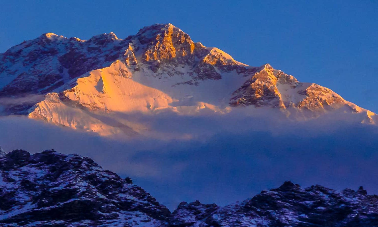
Many expedition groups have tried to climb Kangchenjunga since 1905, but George Band and Joe Brown of the British Expedition crew were the first ones to reach the summit in 1955. Kanchenjunga is named after the Kanchenjunga massif's five peaks: Kanchenjunga Main (8,586m), Kanchenjunga West (8,505m), Kanchenjunga South (8,494m), Kanchenjunga Central (8,484m), and Kangbachen (8,484m) (7,903m). The mountain, which is home to the Kangchenjunga Demon: Yeti, is also thought to be religiously significant. The peak is difficult to climb and requires technical skills to reach the summit. Mount Kanchenjunga can be reached via three different routes: northwest, southwest, and northeast.
| Mountain | Mount Kanchenjunga |
| Meters | 8,586 |
| Feet | 28,169 |
| Range | Himalayas |
| District | Taplejung |
| Location | Nepal, Sikkim (India) |
Lhotse (8,516m) Fourth Highest Mountain Peak
Lhotse is the third-highest peak in Nepal and the fourth-highest in the world, towering 8,816 meters above sea level in the Khumbu region. Because it is part of the Mahalangur Himal, Lhotse is frequently mistaken for the south peak of the Everest massif, although it is an autonomous summit made up of three peaks: Lhotse main (8816m), Lhotse Shar (8,383m), and Lhotse middle (8,414m). In 1956, Ernest Reiss and Fritz Luchsinger successfully climbed Lhotse, putting the mountain on the map.
The Lhotse route follows the same Everest route as the Everest way up to the Yellow Band beyond EBC Camp 3. The Lhotse mountain is one of the most difficult and rarely attempted peaks above 8000 m due to treacherous rocks, a dry surface, and the possibility of rock falls. Lhotse may be an interesting mountain excursion for budget mountaineers looking to complete their climbing journey for a fraction of the cost of Everest.
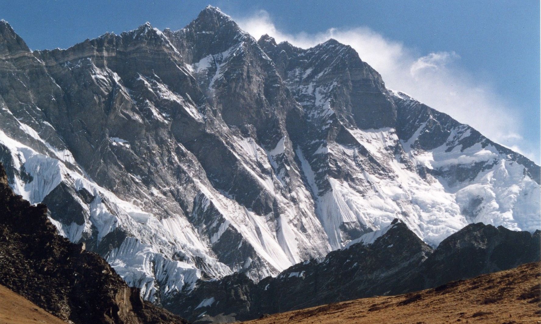
In 1956, two Swiss climbers, Fritz Luchsinger and Ernest Reiss became the first to reach the summit of Lhotse. In addition to the main summit, there are two lesser peaks. Lhotse Shar, which is slightly east of the main summit, and Nuptse, a high mountain on the Mountain's West Ridge.
| Mountain | Mount Lhotse |
| Meters | 8,516 |
| Feet | 27,940 |
| Range | Mahalangur Himal / Himalayas |
| District | Solukhumbu |
| Location | Nepal, China (Tibet) Autonomous Region |
Makalu (8,463m) Fifth Highest Mountain Peak
Makalu, the world's fifth tallest mountain, is located in the Mahalangur Himalayas, on the border between Nepal and Tibet (China's Autonomous Region), at an elevation of 8,485 meters. Mt. Makalu, 14 miles east of Everest, is the first spectacular peak to draw climbers' attention following a successful Everest attempt. Due to its steep slopes and four sharp ridges, the summit is regarded as one of the most challenging and tough peaks. Makalu was first climbed in 1955 by the French expedition Lionel Terray and Junksey, but the American team's first attempt in 1954 was thwarted by a strong storm.
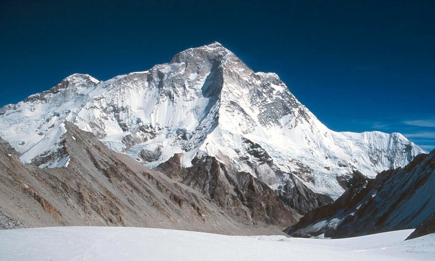
Makaru is the Chinese name for the mountain. Makalu, the mountain's name, comes from the Sanskrit Maha Kala, which means "Big Black" and is a moniker for the Hindu God Shiva. Its length alone is impressive, but its shape, which resembles a super pyramid with four sharp ridges, makes this arena's highest mountain all the more spectacular. It has proven to be a challenging ascent, with only 5 of the first 16 attempts succeeding. Previously, it was well-known and studied with the help of multiple Everest expeditions, but it, like so many other giants in the Khumbu region, is now extinct. It wasn't attempted until 1954 when the top of Everest was reached. In 1955, a French expedition became the first to climb Makalu. Como Lonzo (35,650ft.) is a subsidiary summit of Makalu that grows just north of the main summit and is separated by a narrow saddle.
| Mountain | Mount Makalu |
| Meters | 8,463 |
| Feet | 27,838 |
| Range | Mahalangur Himal / Himalayas |
| District | Sankhuwasabha |
| Location | Border of Nepal and China |
Cho Oyu (8,188m) Sixth Highest Mountain Peak
Cho Oyu (8,201 meters) is the world's sixth highest mountain, located in the Khumbu region of eastern Nepal near the Tibetan border, not far west of Everest and Lhotse. Everest is located within the Mahalangur Himalaya's Khumbu sub-segment. The summit is the second most climbed 8 thousander after Everest, and it is also regarded as the ideal peak for climbing above 8,000 meters. Cho Oyu, also known as the "Turquoise Goddess" in Tibetan, is on many mountaineers' bucket lists. This peak was initially attempted in 1952 as part of a British expedition to climb Mt. Everest, but the first successful attempt was made in 1954 by Hebert Tichy, Pasang Dawa Lama, and Joseph Jochler. Cho Oyu Top offers a number of different ways to get to the peak, with Nang La Pass being the most popular. The peak is also known among mountaineers and trekkers as the "Trekking top" because of its easy accessibility.
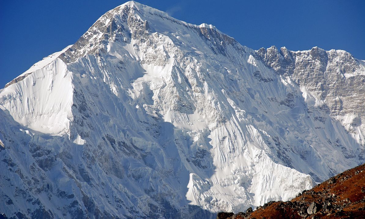
The highest adjacent mountains are covered in Everest's towering sand peaks. Climbers ascending Everest from the north are becoming familiar with Cho Oyu. Nampara, a 19,000-foot glacier pass to the west of Cho Oyu, was the principal trading route between Khumbusherpa and Tibet in the 15th century. Cho Oyu has a reputation among climbers as the simplest 8,000m summit because of its proximity to Nangpa La. This is the third such peak, with two Austrians being the first to climb it in the fall.
| Mountain | Mount Cho Oyu |
| Meters | 8,188 |
| Feet | 26,864 |
| Range | Mahalangur Himal / Himalayas |
| District | Solukhumbu |
| Location | Nepalese - Tibetan (Chinese) border |
Dhaulagiri (8,167m) Seventh Highest Mountain Peak
Dhaulagiri, the seventh-highest mountain in the world is also often known as the White Mountain. This mountain peak is also famous for its unique mound shape. It is entirely within Nepal, at an elevation of 8,167 meters above sea level. When the mountain was first found in 1808, it was regarded as the best peak in the world, and it remained so for the next 30 years. The name Dhaulagiri comes from Sanskrit and means "Beautiful White Mountain." The summit was successfully ascended in 1960 with the help of a Swiss/Austrian day excursion and an airplane, despite the fact that flying over the Himalayas is not always permitted. Mount Dhaulagiri could be visible from Annapurna Base Camp Trekking "Poon Hill" Mount Dhaulagiri is the central massif peak, with Dhaulagiri II (7,751m), Dhaulagiri III (7,715m), Dhaulagiri IV (7,661m), and Dhaulagiri V (7,661m) as subsidiary summits (7,618m). The rushing international's private Kali Gandaki Gorge, which streams between Dhaulagiri and Annapurna I, provides the most exhilarating peak.
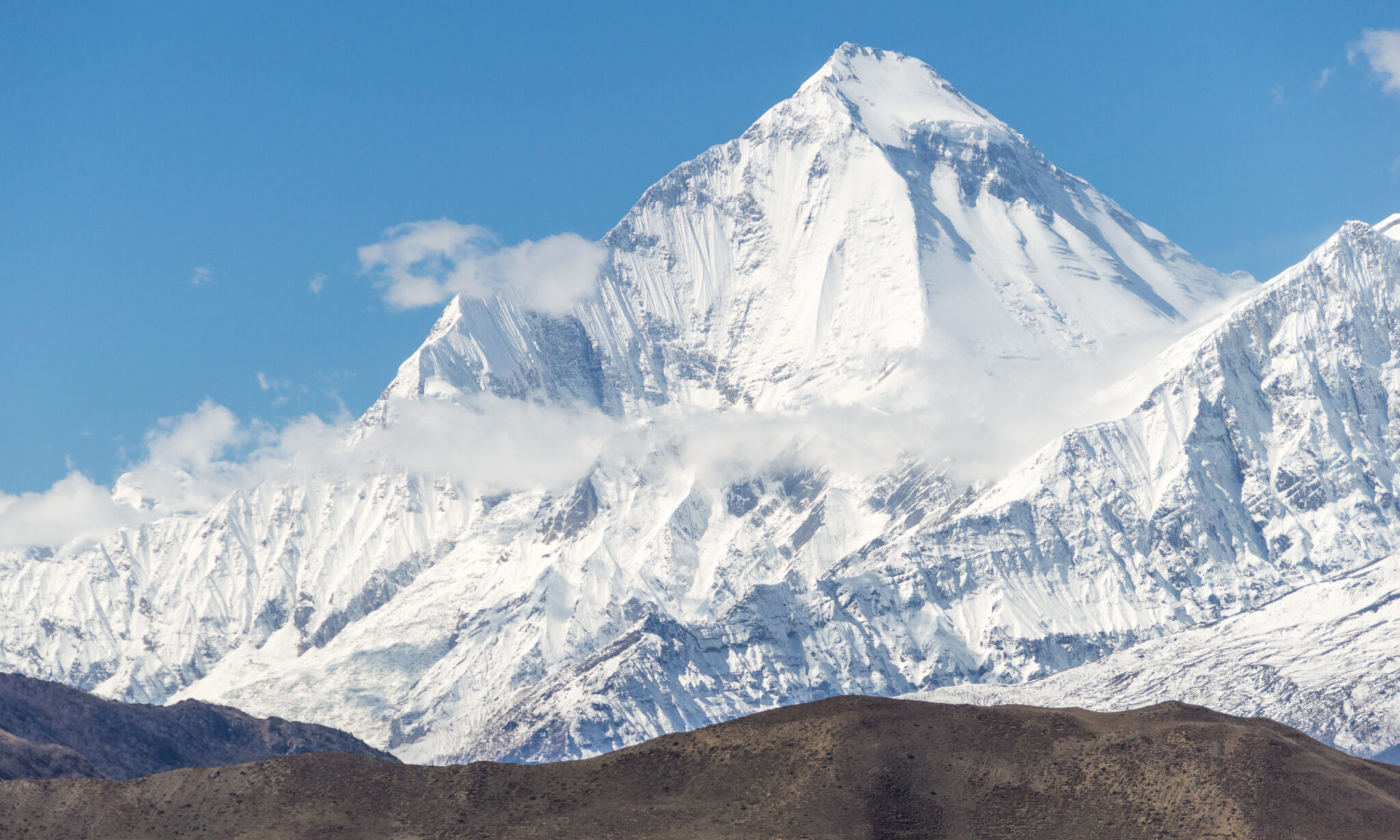
This is a massive Himalayan range in Nepal's north-central region. It has been superseded by Ecuador's Chimborazo (20,561 feet), which is the world's highest mountain. It had this reputation for nearly 30 years, until the discovery of Kanchan Junga, which was mistakenly thought to be the world's highest mountain. The ridges that run the length of Dhaulagiri provide texture to the complicated topography of curving ridges, glaciers, and icefalls. Along the main ridge, several pyramidal peaks rise. From east to west, four of these summits rise above 25,000 feet. In 1960, the first Swiss-Austrian expedition to the mountaintop was the first Himalayan climb assisted by a plane, which crashed on approach but was subsequently abandoned in the Himalayas. Dhaulagiri Sanctuary Trek offers access to Dhaulagiri South Base Camp.
| Mountain | Mount Dhaulagiri |
| Meters | 8,167 |
| Feet | 26,795 |
| Range | Dhaulagiri Himal / Himalayas |
| District | Myagdi |
| Location | Nepal |
Manaslu (8,163m) Eight Highest Mountain Peak
Manaslu standing tall at the height of 8,163m is the highest mountain peak in the Gorkha range and the eighth tallest mountain in the world. It's roughly 40 miles east of Annapurna, the world's tenth tallest peak. Despite three long ridges climbing to the mountain, the summit is a high, pointed rock tower that can only accommodate a few people at a time. It is located in Nepal's west-central region and is part of the Mansiri Himalayan massif. Manaslu is known in Tibetan as "Kutang," which means "mountain of spirits." Manaslu is derived from two Sanskrit words: "Manasa," which means "intellect," and "soul," respectively.
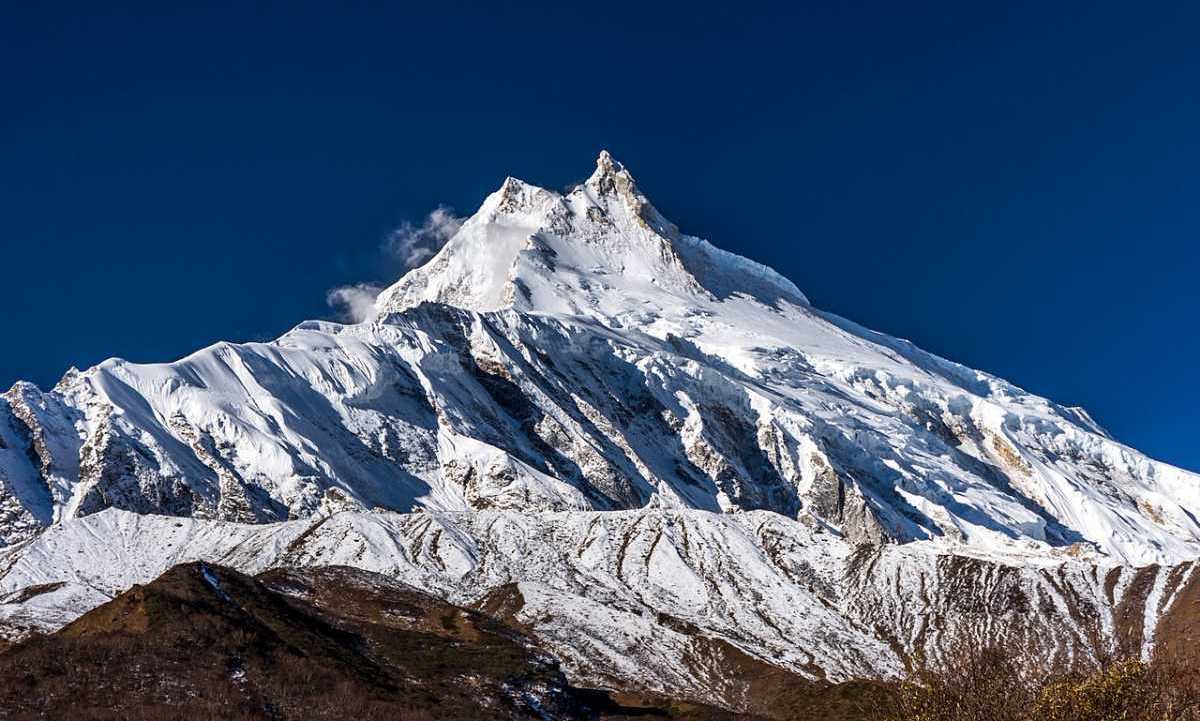
Manaslu is derived from the Sanskrit word Manaslu, which roughly translates to "mountain of spirits." The all-female Japanese expedition reached the summit, making her the first woman to scale the 8,000-meter peak. The first successful climb was by Toshio Imanishi and Garzen Norbu of the Japan expedition in 1956. When the 1950 Annapurna IV effort failed, H.W. Tilman and his colleagues examined mountains and routes. This is the peak of one of the most dangerous mountains in the area, according to some residents. Solo hikers are not permitted to trek in this area because it is a restricted area that requires specific authorization. As a result, mountaineers consider this mountain to be of low priority.
| Mountain | Mount Manaslu |
| Meters | 8,163 |
| Feet | 26,781 |
| Range | Mansiri Himal / Himalayas |
| District | Gorkha |
| Location | Nepal |
For trekking aficionados, Mount Manaslu provides a short route for Manaslu circuit trekking via the Larchiara Pass.
Annapurna (8,091m) Tenth Highest Peak
Annapurna, the first-ever eight-thousander to be successfully climbed, is listed as the tenth (10th) highest peak on the planet. Annapurna is derived from the Sanskrit words 'Anna' which means meals and 'Purna' which means full and is named after a Hindu Goddess of food and grains. Although Annapurna I is the most dangerous peak above 8000 meters due to its high fatality rate, it is also the first eight-thousander to be climbed.
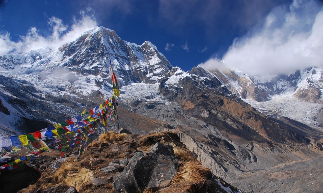
Maurice Herzog and Louis Lachenal were the first mountaineers to successfully scale Mt. Annapurna in 1950, three years before Mt. Everest was ascended. The Annapurna massif stretches over 55 kilometers and includes multiple peaks that could be included in the Annapurna Conservation Area.
| Mountain | Mount Annapurna |
| Meters | 8,091 |
| Feet | 26, 545 |
| Range | Himalayas |
| District | Border of Myagdi and Kaski |
| Location | Nepal |
If you need any further information, please contact us by email: [email protected], Phone: +977- 985 100 5129 (WhatsApp)
#Tags
Tripadvisor
5.0959 reviewsGoogle
4.8114 reviewsFacebook
4.1 recommend44 ReviewsTrustpilot
4.1 Great(5 reviews)- Trusted by50K plus traveller


